
Earth observation is becoming a unified machine-readable layer
AlphaEarth Foundations integrates several forms of Earth-observation information into compact annual embeddings for land and coastal areas. The representation is designed to make large, inconsistent datasets easier to analyse together.
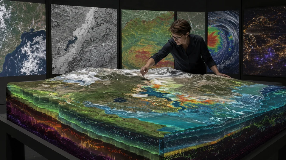 FUURAA original conceptual visual
What the evidence indicates
A concise reading of the source
AlphaEarth Foundations integrates several forms of Earth-observation information into compact annual embeddings for land and coastal areas. The representation is designed to make large, inconsistent datasets easier to analyse together.
FUURAA interpretation
Why this could matter
A common geospatial layer can reduce the technical burden of building applications for agriculture, water, ecosystems and urban change.
How to read this signal
Documented development
The underlying event, report or finding has been published. Its future consequences may still be uncertain.