Technical mechanism
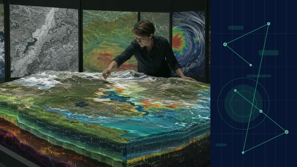
Geospatial AI combines satellite, aerial and ground observations with georegistration, temporal modelling and foundation embeddings to detect and interpret change across Earth.

Technology topic profile
Definition & scope
On-device intelligence, sensor fusion and spatial models connect digital systems with buildings, cities, landscapes and the changing Earth.
FUURAA examines “Geospatial intelligence and Earth observation” through its technical mechanism, deployment infrastructure, evidence requirements and public-interest consequences. This profile separates what can be demonstrated from what still requires field validation.
This is a technology and opportunity profile. It does not announce a current FUURAA product, ownership position, partnership, investment or transaction.
System map
Technical capability, enabling infrastructure, evidence and governance must be considered together.
Geospatial AI combines satellite, aerial and ground observations with georegistration, temporal modelling and foundation embeddings to detect and interpret change across Earth.
Edge processors, sensor networks, positioning, maps, digital twins, communications and cloud coordination create a continuous physical-digital system.
Validation should use independent ground truth across regions, seasons and sensor types, with spatial uncertainty and transfer limitations reported.
Risks include cloud and coverage bias, surveillance, sovereign-data concerns, exposure of sensitive locations and consequential decisions made without local validation. System-wide governance also requires: Persistent sensing raises questions about consent, surveillance, data sovereignty, environmental representation and who may act on spatial inferences.
Application contexts
Examine how “Geospatial intelligence and Earth observation” could create measurable value in “Smart environments”, which supporting systems are required and where human responsibility must remain explicit.
Application contextExamine how “Geospatial intelligence and Earth observation” could create measurable value in “Field operations”, which supporting systems are required and where human responsibility must remain explicit.
Application contextExamine how “Geospatial intelligence and Earth observation” could create measurable value in “Earth observation”, which supporting systems are required and where human responsibility must remain explicit.
Selected evidence record
FUURAA summarises and analyses; original institutions retain ownership of their work and have not reviewed or endorsed this page.
Earth intelligence
FUURAA synthesisAlphaEarth Foundations integrates several forms of Earth-observation information into compact annual embeddings for land and coastal areas. The representation is designed to make large, inconsistent datasets easier to analyse together.
A common geospatial layer can reduce the technical burden of building applications for agriculture, water, ecosystems and urban change.
Diligence questions
A credible technology profile should make it easier to identify evidence, dependencies, boundaries and unanswered questions.
What evidence would distinguish a controlled demonstration of “Geospatial intelligence and Earth observation” from dependable operation?
Which technical dependency or operational bottleneck most constrains performance at scale?
Which failure or harm described in this profile should trigger suspension, escalation or human review?
Which cost, performance, safety or interoperability result would invalidate the current adoption thesis?
FUURAA outlook
Spatial intelligence may become an operating layer for buildings, mobility, field work and Earth systems as local models and sensor networks improve. For “Geospatial intelligence and Earth observation”, credible progress should therefore be judged by verified outcomes, system resilience, responsible adoption and the ability to correct course—not by novelty alone.
This outlook is an editorial assessment, not a market forecast, investment recommendation or product timetable.What We Build